|
Description
|
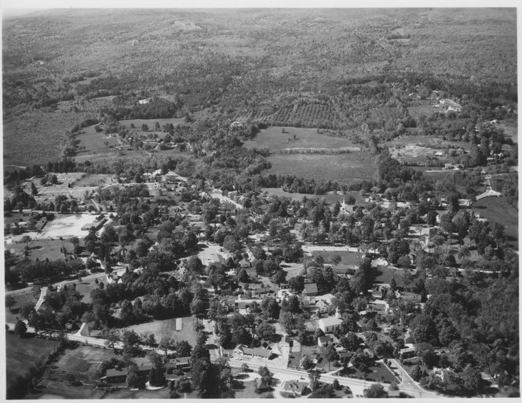
| Aerial photogrph of Amherst village looking north-northwest across Amherst Street. Writing on back: "Shows fileds--now called Upper Wilkins and apple orchards now Steeple Road." |
Amherst village aerial view
-Historical Society of Amherst's Digital Image Collection

COPYRIGHT ~ Historical Society of Amherst, NH ~ Please view "Image Collection & Sales Policy" for complete copyright information.

| Amherst village aerial view |
002\AMHERST-VILLAGE-AERIAL-03.JPG
|
COPYRIGHT ~ Historical Society of Amherst, NH ~ Please view "Image Collection & Sales Policy" for complete copyright information.